
Events
Events for the UQ community, including the public, industry, researchers, staff and students.
Browse events

Academic calendar
Find key study dates for the year, including semester dates, exam periods and holidays.
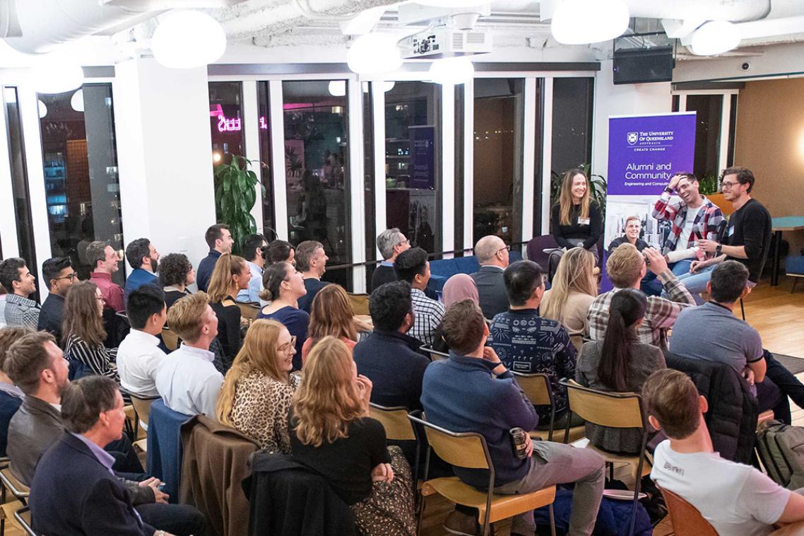
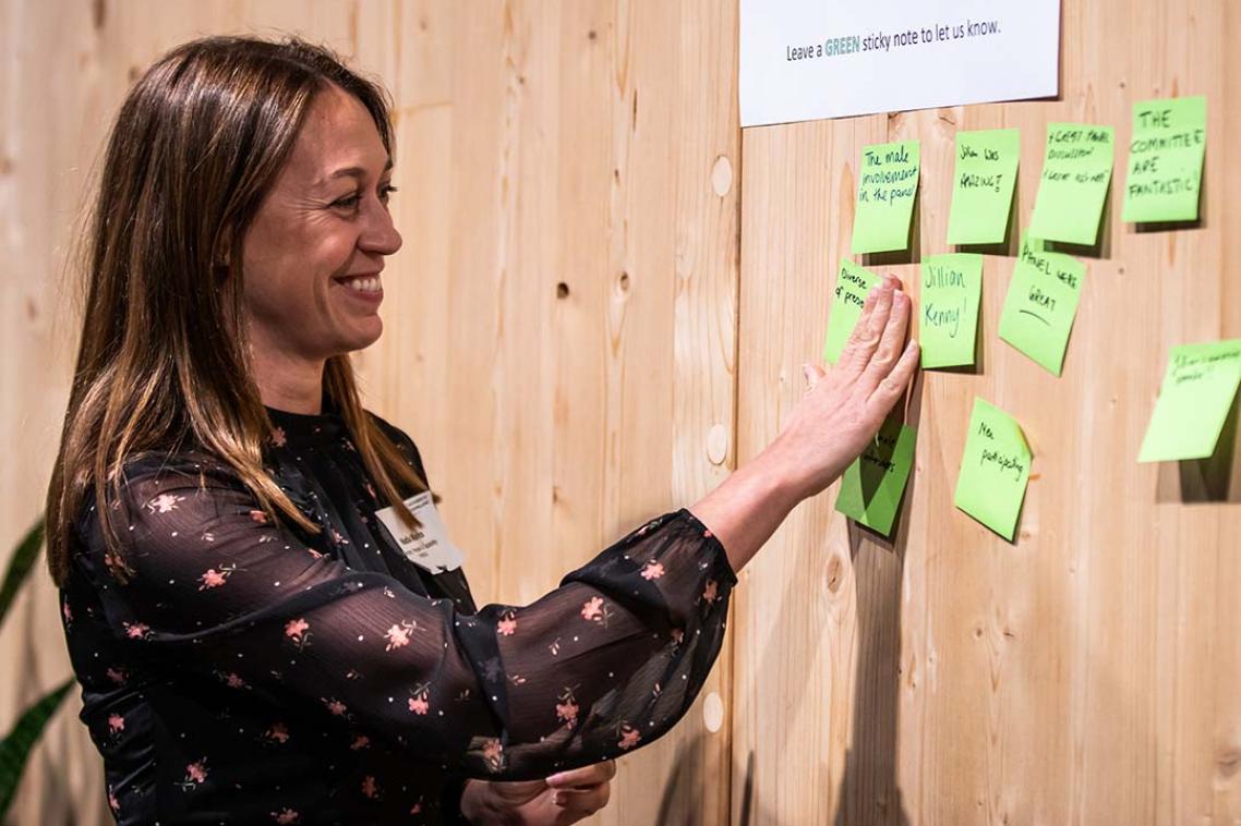
Alumni and community
Hear from UQ-related speakers on issues that impact your community and the world.
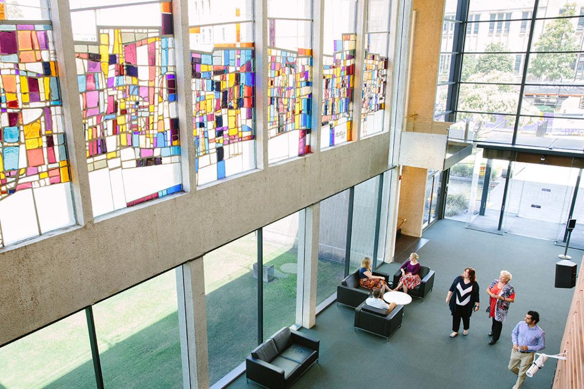
Art exhibitions
Free exhibitions of contemporary art and thought-provoking public events.
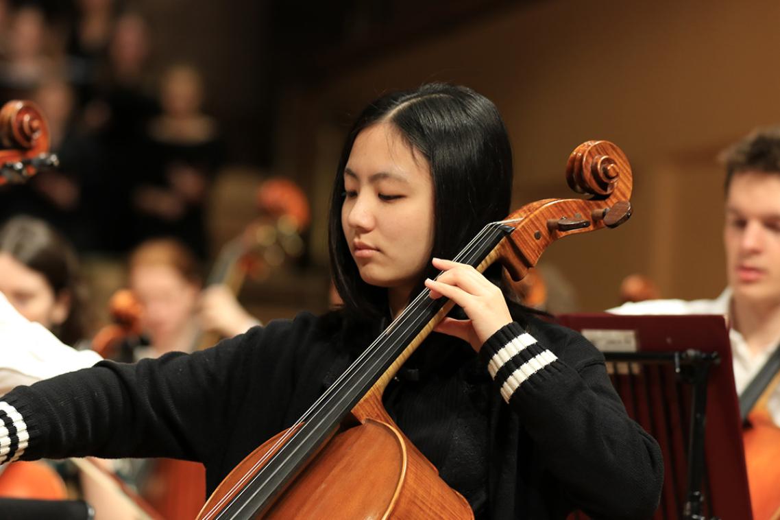
Concerts
Performances by international and national musicians, as well as our own emerging student artists.

Future students
Get answers to your questions about our programs, how to apply and what it's like to study at UQ.

Global development
Events addressing the most pressing challenges facing our world today — including climate change, renewable energy, and health and wellbeing.
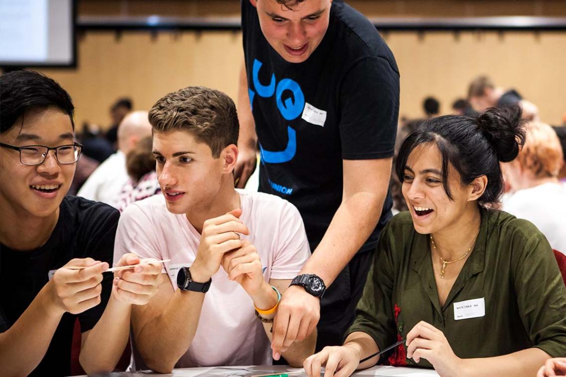
Student workshops
Practical workshops for UQ students. Improve your academic, life and wellbeing skills.

Teaching and learning
Supporting and celebrating creative and innovative teaching and learning practices across UQ.
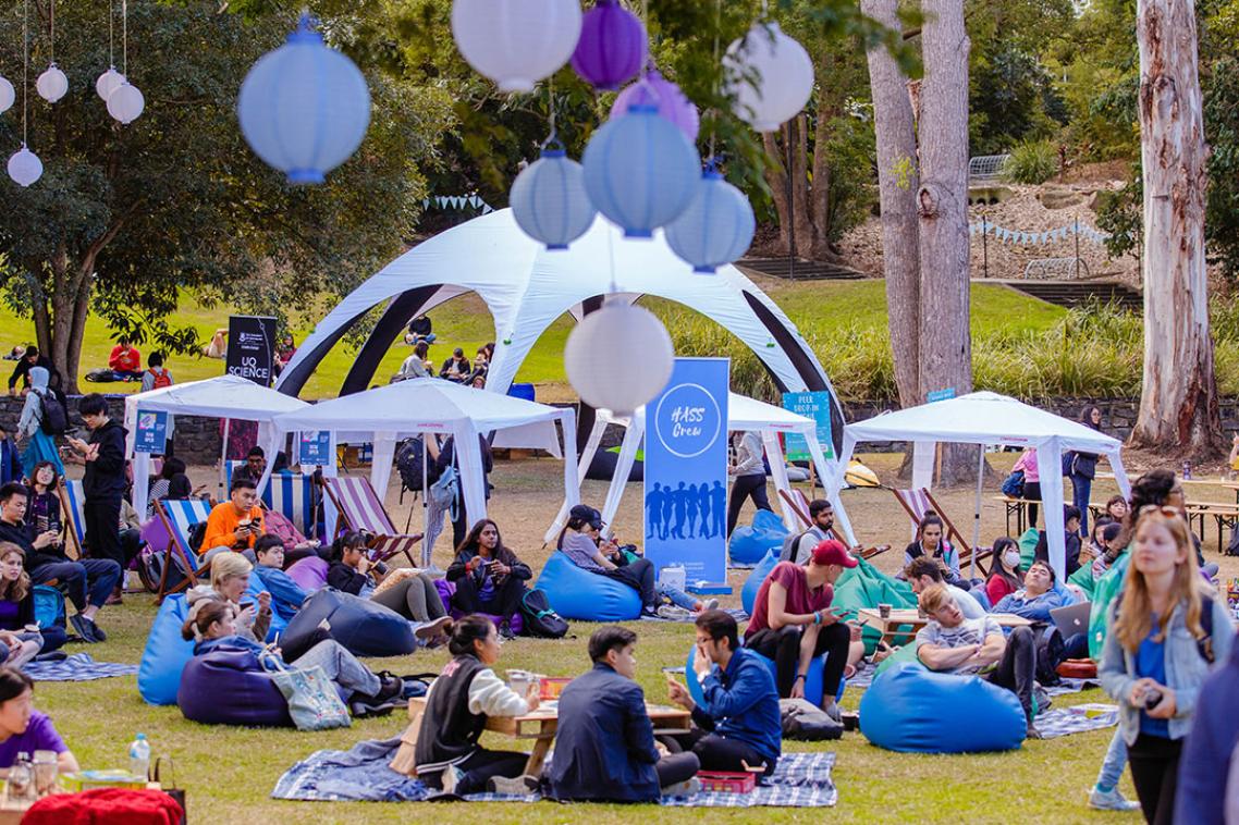
UQ Life
Connect with other UQ students, enhance your study experience and find your place in our community.
Ventures and entrepreneurship
Build your networks. Learn from startup founders. Gain new skills.